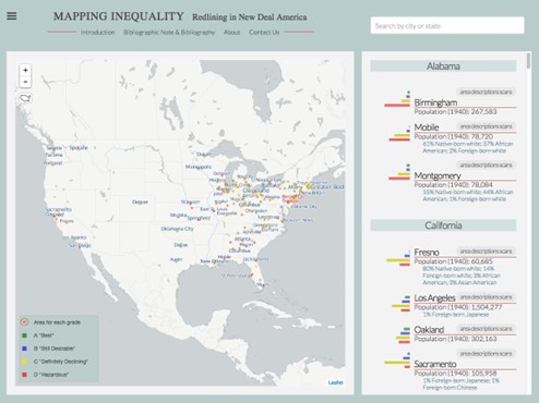
Historians’ basic methodology is to research (collect sources), analyze (examine evidence), and interpret (tell stories to broader audiences); we are also curators and creators of texts and artifacts. Digital technologies like Geographic Information Systems (GIS) and Artificial Intelligence (AI) hold the potential to transform historical practices and audiences, but also present methodological and ethical challenges. Digital History is both a branch of Digital Humanities and of History. Public Historians must have knowledge and familiarity with digital tools. This methods colloquium will combine readings with class discussions, lab work, and a real-world project to introduce students to the principles and practice of digital history, emphasizing the use of digital history within a public history context.
In this course, students will engage with literature addressing the primary issues of and current technologies used to create digital history. We will learn, experiment with, and ultimately apply technologies to historical practice.


You must be logged in to post a comment.